Drone Lidar
Some sites are too big — or too tall — to capture from the ground. Drone lidar captures topography, structures, and large spaces from the air, producing 3D maps of areas that would take days to walk.
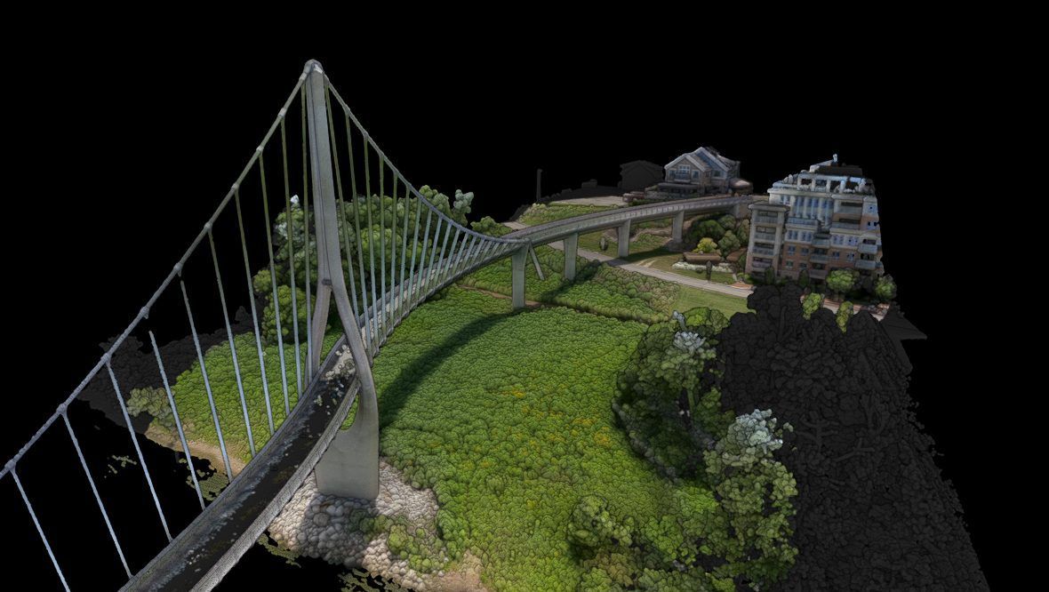
Photogrammetry · Bridge Park
Interactive
What you get
Capture topography, structures, or 3D map large spaces.
Capture site topography from the air
Scan structures ground crews can't reach
3D map large spaces in a single flight
Deliverable formats
Point cloudTopographic data3D map
Best forSite planningLarge propertiesProgress documentation